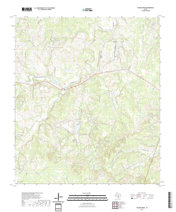
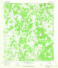
2022 Map of Yeager Creek
USGS Topo · Published 2022About this map
Miller Creek Cem sits along the winding course of Miller Creek, serving as a focal point for the rural families of this Hill Country landscape. The terrain is defined by a dense network of seasonal drainages, including Rough Hollow, Turkey Cr, and Millseat Br, which feed into larger arteries like the Middle Creek and Onion Cr. This 2022 survey captures the character of the region's land use, where private airstrips such as Byram Ranch Airport and Harris Ranch Airport represent the modern accessibility of these remote ranchlands. Along the eastern edge, the Blanco Co Hays Co boundary line crosses high ground near Sheridan's Hill, illustrating the jurisdictional divisions that have shaped local property lines and road networks for generations. Small settlements like Blanco Landing and a web of ranch roads like Klein Ranch Rd further document the persistent settlement patterns of the area.
Find a feature on this map
74 named features on this map. Tap any name to fly to it.
Don’t see what you’re looking for? This feature index may not catch every label — zoom into the map to look around manually.
Map Details
Editions of this 2022 Yeager Creek Map
This is the sole edition of this map. No revisions or reprints were ever made.
Other maps of this area

1887 · Blanco
USGS Topo · 1:125,000

1894 · Blanco
USGS Topo · 1:125,000

1954 · Llano
USGS Topo · 1:250,000

1955 · Llano
USGS Topo · 1:250,000

1956 · Llano
USGS Topo · 1:250,000
1961 · Johnson City
USGS Topo · 1:24,000
1963 · Rough Hollow
USGS Topo · 1:24,000

1963 · Yeager Creek
USGS Topo · 1:24,000
1963 · Henly
USGS Topo · 1:24,000
1963 · Payton
USGS Topo · 1:24,000