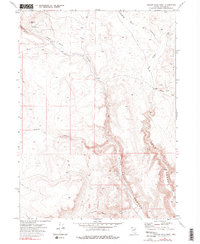
1972 Map of Yellow Hills West
USGS Topo · Published 1990About this map
High Rock Canyon and its massive vertical relief dominate this corner of Washoe County, where deep incisions in the plateau reveal a network of dramatic geological drainages. The landscape is defined by the sharp convergence of Hanging Rock Canyon, Wall Canyon, and Grassy Canyon, creating a complex topographical environment far removed from major development.
Find a feature on this map
18 named features on this map. Tap any name to fly to it.
Don’t see what you’re looking for? This feature index may not catch every label — zoom into the map to look around manually.
Map Details
Editions of this 1972 Yellow Hills West Map
3 editions found
Other maps of this area

1889 · Long Valley
USGS Topo · 1:250,000

1954 · Vya
USGS Topo · 1:250,000

1958 · Vya
USGS Topo · 1:250,000

1962 · Vya
USGS Topo · 1:250,000

1966 · Nut Mountain
USGS Topo · 1:24,000

1966 · Badger Mtn SE
USGS Topo · 1:24,000

1966 · Massacre Creek
USGS Topo · 1:24,000

1972 · Mahogany Mtn
USGS Topo · 1:24,000

1972 · High Rock Lake
USGS Topo · 1:24,000
1972 · Yellow Hills East
USGS Topo · 1:24,000