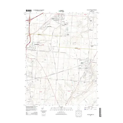
2013 Map of Yellow Springs
USGS Topo · Published 2013About this map
Yellow Springs and its surrounding academic and rural landscape define this 2013 study of the Clark and Greene county border. The area is anchored by the historic campus of Antioch Coll, alongside newer additions like Antioch Univ McGregor. Settlement patterns vary from the dense grids of Fairborn to suburban enclaves such as Indian Valley Estates and West Enon Estates.
Find a feature on this map
177 named features on this map. Tap any name to fly to it.
Don’t see what you’re looking for? This feature index may not catch every label — zoom into the map to look around manually.
Map Details
Editions of this 2013 Yellow Springs Map
This is the sole edition of this map. No revisions or reprints were ever made.
Other maps of this area

1904 · Springfield
USGS Topo · 1:62,500

1904 · Dayton
USGS Topo · 1:62,500

1906 · Dayton
USGS Topo · 1:62,500

1906 · Springfield
USGS Topo · 1:62,500

1913 · Waynesville
USGS Topo · 1:62,500

1915 · Waynesville
USGS Topo · 1:62,500

1917 · Xenia
USGS Topo · 1:62,500

1947 · Columbus
USGS Topo · 1:250,000

1953 · Cincinnati
USGS Topo · 1:250,000

1954 · Clifton
USGS Topo · 1:24,000