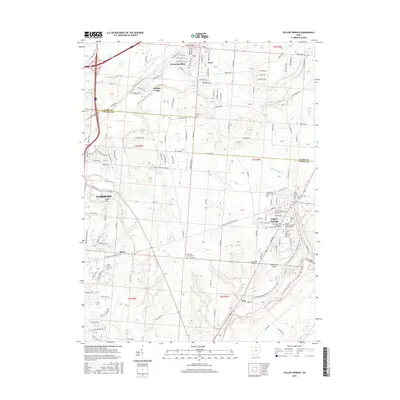
2016 Map of Yellow Springs
USGS Topo · Published 2016About this map
Yellow Springs serves as a cultural and educational hub in this western Ohio landscape, dominated by the campus of Antioch College and various administrative branches of the university system. The terrain is defined by the incision of the Little Miami River and its tributaries, including Yellow Springs Creek and Jacoby Branch, which carve through the till plains. Settlement patterns show a distinct contrast between the established grids of Fairborn and the suburban expansions at Holiday Valley and Green Meadows.
Find a feature on this map
186 named features on this map. Tap any name to fly to it.
Don’t see what you’re looking for? This feature index may not catch every label — zoom into the map to look around manually.
Map Details
Editions of this 2016 Yellow Springs Map
This is the sole edition of this map. No revisions or reprints were ever made.
Other maps of this area

1904 · Springfield
USGS Topo · 1:62,500

1904 · Dayton
USGS Topo · 1:62,500

1906 · Dayton
USGS Topo · 1:62,500

1906 · Springfield
USGS Topo · 1:62,500

1913 · Waynesville
USGS Topo · 1:62,500

1915 · Waynesville
USGS Topo · 1:62,500

1917 · Xenia
USGS Topo · 1:62,500

1947 · Columbus
USGS Topo · 1:250,000

1953 · Cincinnati
USGS Topo · 1:250,000

1954 · Clifton
USGS Topo · 1:24,000