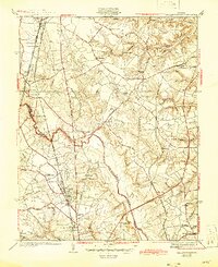
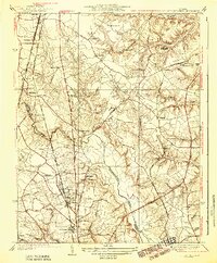
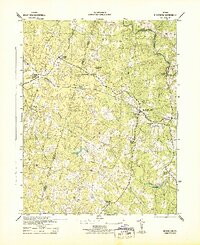
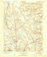
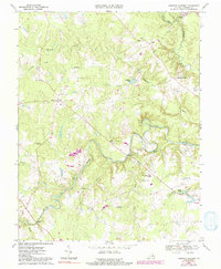
1938 Map of Yellow Tavern
USGS Topo · Published 1946About this map
The Henry Clay Birthplace sits in the northern reaches of this Hanover County landscape, where the headwaters of Mechumps Creek and Crump Creek carve through the terrain. During the early 1930s, this area north of Richmond was defined by a dense network of transportation, featuring the Richmond Fredericksburg and Potomac Railroad and the Richmond and Potomac Electric Railway running parallel to the Jefferson Davis Highway.
Find a feature on this map
66 named features on this map. Tap any name to fly to it.
Don’t see what you’re looking for? This feature index may not catch every label — zoom into the map to look around manually.
Map Details
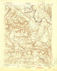
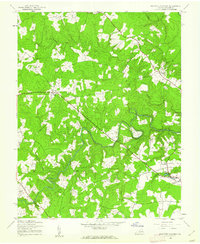
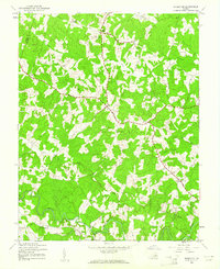
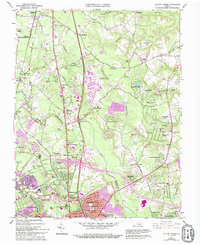
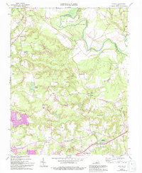
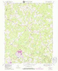
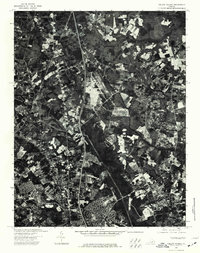
Editions of this 1938 Yellow Tavern Map
3 editions found

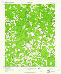
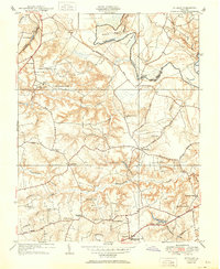
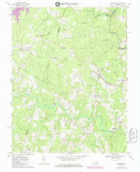
Historical Maps of Ashland Through Time
20 maps found
1938 Studley
Hanover County, VA
1938 Yellow Tavern
Hanover County, VA
1942 Beaverdam
Hanover County, VA
1943 Beaverdam
Hanover County, VA
1943 Hanover Academy
Hanover County, VA
1943 Mabelton
Hanover County, VA
1951 Studley
Hanover County, VA
1951 Yellow Tavern
Hanover County, VA
1963 Yellow Tavern
Hanover County, VA
1964 Studley
Hanover County, VA
1969 Beaverdam
Hanover County, VA
1969 Hanover Academy
Hanover County, VA
1969 Montpelier
Hanover County, VA

1974 Studley
Hanover County, VA
1974 Yellow Tavern
Hanover County, VA
2022 Beaverdam
Hanover County, VA
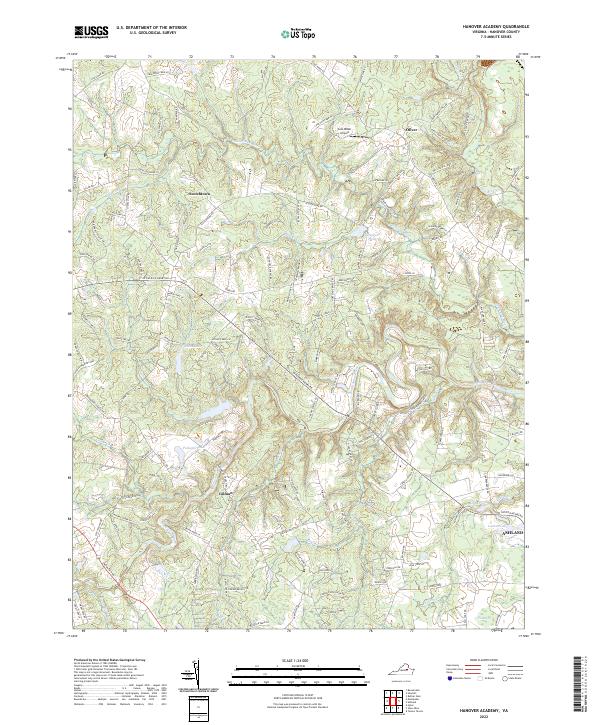
2022 Hanover Academy
Hanover County, VA
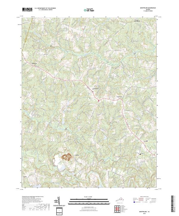
2022 Montpelier
Hanover County, VA
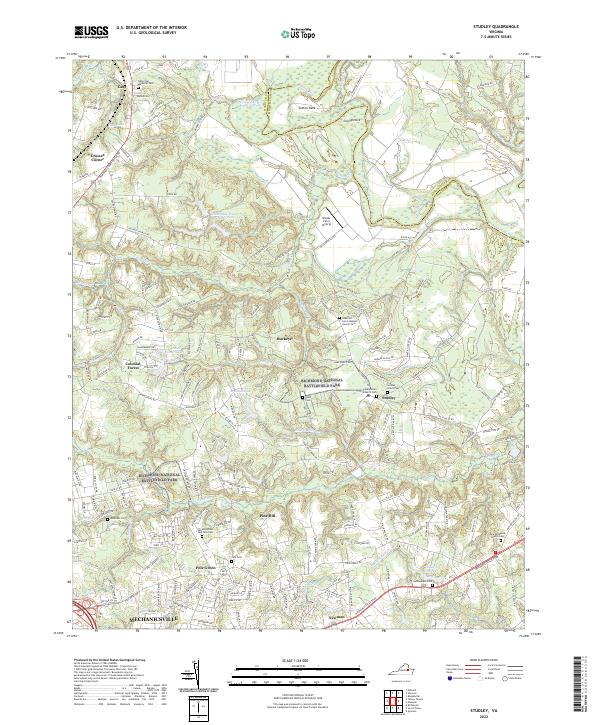
2022 Studley
Hanover County, VA
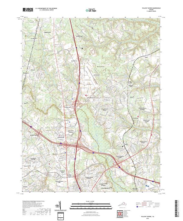
2022 Yellow Tavern
Hanover County, VA