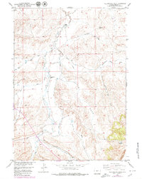
1958 Map of Yellowstone Ranch
USGS Topo · Published 1979About this map
Yellowstone Ranch and other isolated homesteads anchor this mid-century look at the high plains of Fremont County, where the landscape is defined by the sharp topographical break of the Beaver Divide. The map illustrates the specialized infrastructure required for ranching and resource extraction in this arid environment, including the Samuel Large Ditch and its related branches that divert water across the drainage basins of Beaver Creek and Cottonwood Creek. Small-scale industrial activity is evidenced by Mines located north of Henton Ranch, while the numerous named drainages like Hays Draw and Shearing Pen Draw reveal a local geography centered on seasonal water flow and livestock management. This 1950s survey, updated with late-1970s aerial data, provides a clear record of land use before modern intensive development, documenting the proximity of the Arthur Ranch to the rugged breaks of Mc Turk Draw.
Find a feature on this map
18 named features on this map. Tap any name to fly to it.
Don’t see what you’re looking for? This feature index may not catch every label — zoom into the map to look around manually.
Map Details
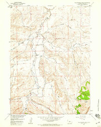
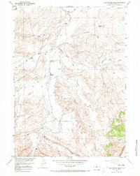
Editions of this 1958 Yellowstone Ranch Map
3 editions found
Other maps of this area

1953 · Ninemile Hill
USGS Topo · 1:24,000

1953 · Bringolf Ranch
USGS Topo · 1:24,000

1953 · Sweetwater Station
USGS Topo · 1:24,000

1953 · Sand Draw
USGS Topo · 1:24,000

1953 · Schlichting Mountain
USGS Topo · 1:24,000

1953 · Dishpan Butte
USGS Topo · 1:24,000

1953 · Del Monte Ridge
USGS Topo · 1:24,000

1953 · Yellowstone Ranch
USGS Topo · 1:24,000

1953 · Red Canyon
USGS Topo · 1:24,000

1955 · Lander
USGS Topo · 1:250,000