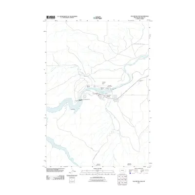
2011 Map of Yellowtail Dam
USGS Topo · Published 2011About this map
Yellowtail Dam and the surrounding Bighorn Canyon Natl Rec Area define this northern Montana landscape where the Bighorn River is harnessed for power and recreation. The settlement of Fort Smith serves as the primary hub for the area, located just downstream from the Bighorn Lake reservoir and the Yellowtail Afterbay Dam. This 2011 survey illustrates the complex infrastructure required for water management and regional electricity, including the Powerhouse Yellowtail Dam and the Bighorn Canal.
Find a feature on this map
30 named features on this map. Tap any name to fly to it.
Don’t see what you’re looking for? This feature index may not catch every label — zoom into the map to look around manually.
Map Details
Editions of this 2011 Yellowtail Dam Map
This is the sole edition of this map. No revisions or reprints were ever made.
Other maps of this area

1894 · St. Xavier
USGS Topo · 1:125,000

1901 · St. Xavier
USGS Topo · 1:125,000

1915 · Spenceville
USGS Topo · 1:31,680

1954 · Billings
USGS Topo · 1:250,000

1954 · Hardin
USGS Topo · 1:250,000

1957 · Hardin
USGS Topo · 1:250,000

1957 · Billings
USGS Topo · 1:250,000

1958 · Billings
USGS Topo · 1:250,000

1958 · Hardin
USGS Topo · 1:250,000

1964 · Peyote Point
USGS Topo · 1:24,000