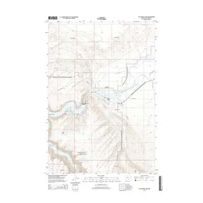
2014 Map of Yellowtail Dam
USGS Topo · Published 2014About this map
Yellowtail Dam anchors this Montana landscape, where the waters of Bighorn Lake are held within the steep walls of Bighorn Canyon. This 2014 survey documents the complex water management and recreation infrastructure of the Bighorn Canyon National Recreation Area, from the industrial presence of the dam to the small settlement of Fort Smith. The terrain is defined by dramatic geological features such as Box Canyon and Black Canyon, while the high point at War Man Mtn overlooks the winding course of the Bighorn River. Historic transit routes are preserved in the landscape through labels like the Bozeman Trl, which runs north-south across the high ground. The map also detail local agricultural and transport infrastructure, including the Big Horn Canal, the Fort Smith Landing Strip, and numerous springs that suggest the vital importance of water in this semi-arid environment.
Find a feature on this map
40 named features on this map. Tap any name to fly to it.
Don’t see what you’re looking for? This feature index may not catch every label — zoom into the map to look around manually.
Map Details
Editions of this 2014 Yellowtail Dam Map
This is the sole edition of this map. No revisions or reprints were ever made.
Other maps of this area

1894 · St. Xavier
USGS Topo · 1:125,000

1901 · St. Xavier
USGS Topo · 1:125,000

1915 · Spenceville
USGS Topo · 1:31,680

1954 · Billings
USGS Topo · 1:250,000

1954 · Hardin
USGS Topo · 1:250,000

1957 · Hardin
USGS Topo · 1:250,000

1957 · Billings
USGS Topo · 1:250,000

1958 · Billings
USGS Topo · 1:250,000

1958 · Hardin
USGS Topo · 1:250,000

1964 · Peyote Point
USGS Topo · 1:24,000