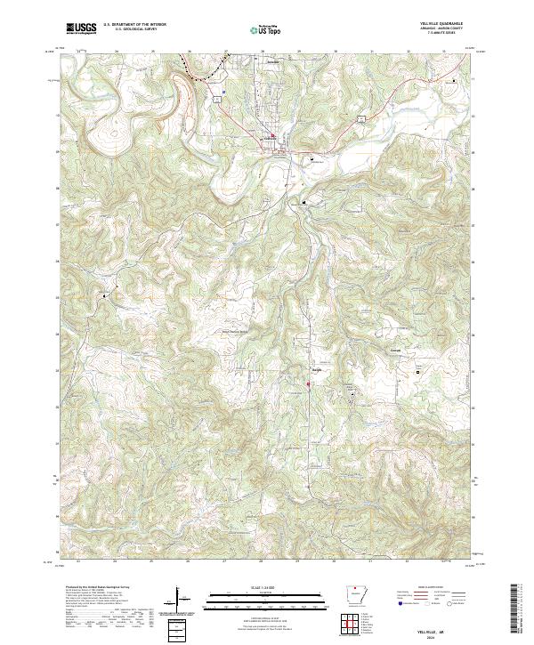
2024 Map of Yellville
USGS Topo · Published 2024About this map
Crooked Creek meanders through the heart of this Marion County landscape, anchoring the regional hub of Yellville. As the seat of local government, the town is centered around the Marion County Courthouse, with neighborhoods extending north toward Summit. The surrounding countryside reveals a pattern of rural clusters and family landmarks, particularly evident in the numerous burial grounds like Wickersham Cem and Nanny Cem.
Find a feature on this map
146 named features on this map. Tap any name to fly to it.
Don’t see what you’re looking for? This feature index may not catch every label — zoom into the map to look around manually.
Map Details
Editions of this 2024 Yellville Map
This is the sole edition of this map. No revisions or reprints were ever made.
Other maps of this area

1893 · Yellville
USGS Topo · 1:125,000

1903 · Yellville
USGS Topo · 1:125,000

1905 · Yellville
USGS Topo · 1:125,000

1929 · Yellville
USGS Topo · 1:125,000

1945 · Harrison
USGS Topo · 1:250,000

1949 · Harrison
USGS Topo · 1:250,000

1954 · Harrison
USGS Topo · 1:250,000

1958 · Harrison
USGS Topo · 1:250,000

1964 · Harrison
USGS Topo · 1:250,000
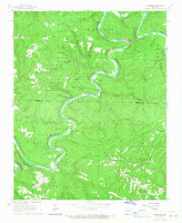
1966 · Cozahome
USGS Topo · 1:24,000