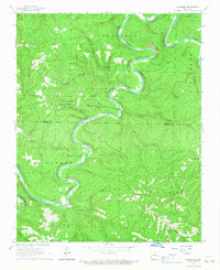
1966 Map of Cozahome
USGS Topo · Published 1967About this map
The Buffalo River snakes in sharp, dramatic oxbows through the Ozark landscape, defining much of the topography along the border of Marion Co and Searcy Co. This mid-1960s survey captures the area during the operation of the Buffalo River State Park, showing the river's winding course through deep hollows like Hogskin Hollow and Peter Hollow. Small mountain communities and family landmarks are scattered throughout the wooded terrain, including the settlement of Cozahome and the Maumee area. Local genealogy is well-preserved through several established burial grounds and congregations, such as De Soto Cem and the Pine Grove Ch. The landscape is etched with countless prongs and creeks, including Big Creek and Panther Creek, which feed into the primary river system. Unique geographical features like Caney Cave and a Gaging Station on the Buffalo further characterize this rural Arkansas district.
Find a feature on this map
44 named features on this map. Tap any name to fly to it.
Don’t see what you’re looking for? This feature index may not catch every label — zoom into the map to look around manually.
Map Details
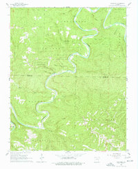
Editions of this 1966 Cozahome Map
2 editions found
Other maps of this area

1890 · Mountain Home
USGS Topo · 1:125,000

1891 · Mountain Home
USGS Topo · 1:125,000

1892 · Marshall
USGS Topo · 1:125,000

1892 · Mountain View
USGS Topo · 1:125,000

1893 · Yellville
USGS Topo · 1:125,000

1894 · Mountain View
USGS Topo · 1:125,000

1894 · Mountain Home
USGS Topo · 1:125,000

1894 · Marshall
USGS Topo · 1:125,000

1901 · Marshall
USGS Topo · 1:125,000

1903 · Yellville
USGS Topo · 1:125,000