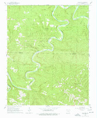
1966 Map of Cozahome
USGS Topo · Published 1977About this map
Buffalo River State Park dominates this Ozark landscape in the mid-1960s, preserving a section of the winding Buffalo River as it carves through northern Arkansas. The river's deep meanders are flanked by numerous hollows, including Lonely Hollow and Hogskin Hollow, while higher elevations support small rural settlements such as Cozahome and Ingram. This survey captures a moment of transition between traditional mountain life and the growing significance of public conservation land.
Find a feature on this map
40 named features on this map. Tap any name to fly to it.
Don’t see what you’re looking for? This feature index may not catch every label — zoom into the map to look around manually.
Map Details
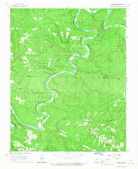
Editions of this 1966 Cozahome Map
2 editions found
Other maps of this area

1890 · Mountain Home
USGS Topo · 1:125,000

1891 · Mountain Home
USGS Topo · 1:125,000

1892 · Marshall
USGS Topo · 1:125,000

1892 · Mountain View
USGS Topo · 1:125,000

1893 · Yellville
USGS Topo · 1:125,000

1894 · Mountain View
USGS Topo · 1:125,000

1894 · Mountain Home
USGS Topo · 1:125,000

1894 · Marshall
USGS Topo · 1:125,000

1901 · Marshall
USGS Topo · 1:125,000

1903 · Yellville
USGS Topo · 1:125,000