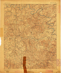
1893 Map of Yellville
USGS Topo · Published 1900About this map
The White River and Crooked Creek define the rugged character of Marion and Boone counties in this late nineteenth-century survey. Yellville sits as a central hub, while the landscape is dotted with early Ozark settlements, many of which carry dual names or nicknames such as Peel (Needmore), St. Joe (Monkey Run), and Western Grove (Eigh-Wad). This era captures the region's reliance on river crossings, documented by a high density of named ferries like the Denton Ferry and Kissee Ferry.
Find a feature on this map
68 named features on this map. Tap any name to fly to it.
Don’t see what you’re looking for? This feature index may not catch every label — zoom into the map to look around manually.
Map Details
Editions of this 1893 Yellville Map
2 editions found

Historical Maps of Bull Shoals Through Time
10 maps found
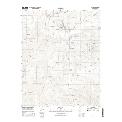
1893 Yellville
Marion County, AR

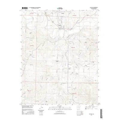
1903 Yellville
Marion County, AR
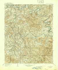
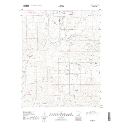
1905 Yellville
Marion County, AR

1929 Yellville
Marion County, AR
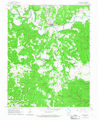
1966 Yellville
Marion County, AR
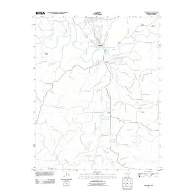
2011 Yellville
Marion County, AR
2014 Yellville
Marion County, AR
2017 Yellville
Marion County, AR
2020 Yellville
Marion County, AR
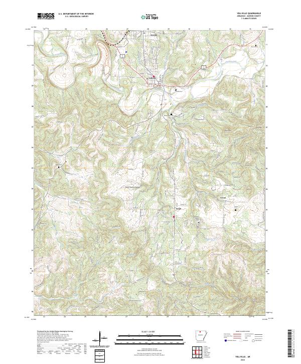
2024 Yellville
Marion County, AR