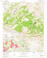
1964 Map of Yorba Linda
USGS Topo · Published 1965About this map
Placentia and Yorba Linda sit at the edge of rapid suburban expansion in the mid-1960s, framed by the intensive petroleum extraction of the surrounding Oil Field. While residential tracts grow near the Richard M Nixon Sch, much of the landscape remains defined by the steep topography of the Puente Hills and Chino Hills. The map captures a moment when citrus groves and open canyons like Tonner Canyon and Carbon Canyon still separated established towns from newer developments like Diamond Bar and the secluded Sleepy Hollow.
Find a feature on this map
48 named features on this map. Tap any name to fly to it.
Don’t see what you’re looking for? This feature index may not catch every label — zoom into the map to look around manually.
Map Details
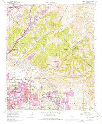
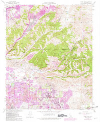
Editions of this 1964 Yorba Linda Map
3 editions found
Other maps of this area

1894 · Pomona
USGS Topo · 1:62,500

1896 · Anaheim
USGS Topo · 1:62,500

1897 · Pomona
USGS Topo · 1:62,500

1897 · Cucamonga
USGS Topo · 1:62,500

1898 · Pomona
USGS Topo · 1:62,500

1898 · Anaheim
USGS Topo · 1:62,500

1900 · Cucamonga
USGS Topo · 1:62,500

1901 · Southern California Sheet No. 1
USGS Topo · 1:250,000

1901 · Anaheim
USGS Topo · 1:62,500

1902 · Corona
USGS Topo · 1:125,000