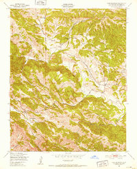
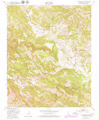
1948 Map of York Mountain
USGS Topo · Published 1952About this map
The Santa Lucia Range dominates the terrain of this 1948 survey, where the drainages of Paso Robles Creek and Santa Rita Creek carve through the landscape. Located in a transition between the coastal mountains and the interior, the area is characterized by rural ranching life and a network of country schools that anchored these remote communities. Notable landmarks include the Kentucky Ranch in the north and the Santa Rita Ranch to the south, connected by winding routes like Dover Canyon Road.
Find a feature on this map
24 named features on this map. Tap any name to fly to it.
Don’t see what you’re looking for? This feature index may not catch every label — zoom into the map to look around manually.
Map Details
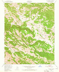
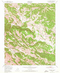
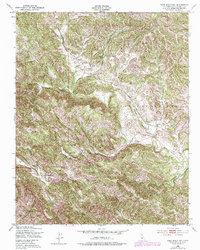
Editions of this 1948 York Mountain Map
5 editions found
Other maps of this area

1897 · San Luis Obispo
USGS Topo · 1:62,500

1897 · Cayucos
USGS Topo · 1:62,500

1900 · San Luis
USGS Topo · 1:125,000

1919 · Paso Robles
USGS Topo · 1:62,500

1919 · Adelaida
USGS Topo · 1:62,500

1932 · Adelaida
USGS Topo · 1:62,500

1937 · Cayucos
USGS Topo · 1:62,500

1942 · Adelaida
USGS Topo · 1:62,500

1942 · San Luis Obispo
USGS Topo · 1:62,500

1943 · Paso Robles
USGS Topo · 1:62,500