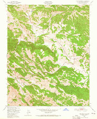
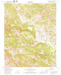
1948 Map of York Mountain
USGS Topo · Published 1965About this map
York Mountain and the western slopes of the Santa Lucia Range define this mid-century landscape in San Luis Obispo County. The 1948 field survey reveals a terrain largely dedicated to cattle ranching and rural life, anchored by large holdings like Kentucky Ranch in the north and Santa Rita Ranch to the south. The distribution of Summit Sch, Asuncion Sch, and Oakdale Sch suggests a network of small, scattered school districts serving the remote families of the area. Water management is central to this environment, evidenced by numerous Windmill sites and the complex drainage of Willow Creek, Jack Creek, and Santa Rita Creek. The presence of an Indefinite Boundary between Paso De Robles and Asuncion reflects the early administrative divisions of the California land grants, providing a clear look at local land use before modern development reached the hills west of Templeton.
Find a feature on this map
26 named features on this map. Tap any name to fly to it.
Don’t see what you’re looking for? This feature index may not catch every label — zoom into the map to look around manually.
Map Details
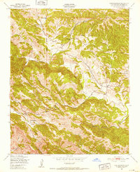
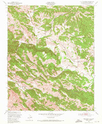
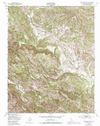
Editions of this 1948 York Mountain Map
5 editions found
Other maps of this area

1897 · San Luis Obispo
USGS Topo · 1:62,500

1897 · Cayucos
USGS Topo · 1:62,500

1900 · San Luis
USGS Topo · 1:125,000

1919 · Paso Robles
USGS Topo · 1:62,500

1919 · Adelaida
USGS Topo · 1:62,500

1932 · Adelaida
USGS Topo · 1:62,500

1937 · Cayucos
USGS Topo · 1:62,500

1942 · Adelaida
USGS Topo · 1:62,500

1942 · San Luis Obispo
USGS Topo · 1:62,500

1943 · Paso Robles
USGS Topo · 1:62,500