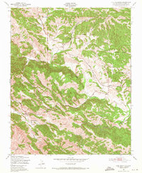
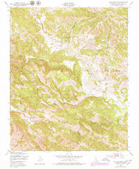
1948 Map of York Mountain
USGS Topo · Published 1971About this map
York Mountain and the high ridges of the Santa Lucia Range dominate this topography, which was mapped by the Army Map Service using aerial photography from 1947. This mid-century landscape reflects a rural ranching economy, centered on properties such as Kentucky Ranch and Santa Rita Ranch. The drainage pattern is complex, defined by the headwaters of Paso Robles Creek, Willow Creek, and Santa Rita Creek, which carve deep canyons like Dover Canyon through the terrain. Evidence of early 20th-century rural education is visible in the distribution of schools across the hills, including Summit Sch, Oakdale Sch, and Asuncion Sch. These small schoolhouses served a dispersed community connected by primitive routes like Summit Road, while numerous Windmills and a high-elevation Reservoir indicate the necessity of water management for the local ranching operations.
Find a feature on this map
26 named features on this map. Tap any name to fly to it.
Don’t see what you’re looking for? This feature index may not catch every label — zoom into the map to look around manually.
Map Details
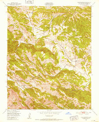
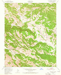
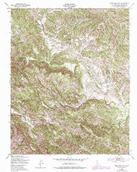
Editions of this 1948 York Mountain Map
5 editions found
Other maps of this area

1897 · San Luis Obispo
USGS Topo · 1:62,500

1897 · Cayucos
USGS Topo · 1:62,500

1900 · San Luis
USGS Topo · 1:125,000

1919 · Paso Robles
USGS Topo · 1:62,500

1919 · Adelaida
USGS Topo · 1:62,500

1932 · Adelaida
USGS Topo · 1:62,500

1937 · Cayucos
USGS Topo · 1:62,500

1942 · Adelaida
USGS Topo · 1:62,500

1942 · San Luis Obispo
USGS Topo · 1:62,500

1943 · Paso Robles
USGS Topo · 1:62,500