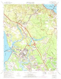
1965 Map of Yorktown
USGS Topo · Published 1971About this map
Yorktown and its storied military landscape dominate this mid-century survey, showing a Peninsula shaped by centuries of conflict and rapid Cold War expansion. The map clearly identifies the Surrender Ground and various Battle Trenches within the Colonial National Historical Park, preserving the spatial history of the 1781 siege alongside modern developments. Strategic footprints are everywhere, from the U S Naval Weapons Station to the Fort Eustis Military Reservation, highlighting how the region's geography dictated its role in American defense. Between these federal tracts, small crossroads like Lackey and Lee Hall sit near the Chesapeake and Ohio railroad line. Civil life is marked by local landmarks such as Rising Sun Ch and the National Cem, while the industrial presence of a Sandpit and the growing residential blocks of Windsor Great Park illustrate the transition from a wartime landscape to a suburban corridor.
Find a feature on this map
74 named features on this map. Tap any name to fly to it.
Don’t see what you’re looking for? This feature index may not catch every label — zoom into the map to look around manually.
Map Details
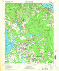
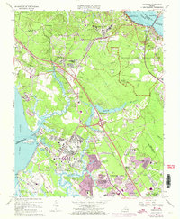
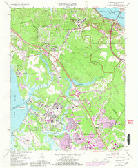
Editions of this 1965 Yorktown Map
4 editions found
Other maps of this area

1906 · Williamsburg
USGS Topo · 1:62,500

1907 · Yorktown
USGS Topo · 1:62,500

1907 · Hampton
USGS Topo · 1:62,500

1916 · Mathews
USGS Topo · 1:62,500

1917 · Mathews
USGS Topo · 1:62,500

1943 · Yorktown
USGS Topo · 1:62,500

1943 · Richmond
USGS Topo · 1:250,000

1944 · Yorktown
USGS Topo · 1:24,000

1944 · Morrison
USGS Topo · 1:24,000

1944 · Harris Grove
USGS Topo · 1:24,000