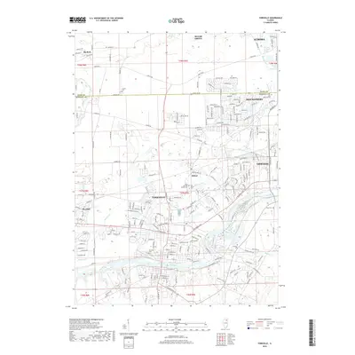
2018 Map of Yorkville
USGS Topo · Published 2018About this map
The Fox River carves a path through the heart of Kendall County, serving as the geographic anchor for Yorkville and Oswego. This 2018 survey documents a landscape of suburban expansion meeting traditional Illinois prairie, where modern residential developments like Bristol Bay Dr and Suncrest Dr sit alongside long-established landmarks. For genealogists and local historians, the map preserves the locations of numerous burial grounds including Elmwood Cem, Oak Grove Cem, and Saint Patrick's Catholic Cemetery.
Find a feature on this map
209 named features on this map. Tap any name to fly to it.
Don’t see what you’re looking for? This feature index may not catch every label — zoom into the map to look around manually.
Map Details
Editions of this 2018 Yorkville Map
This is the sole edition of this map. No revisions or reprints were ever made.
Other maps of this area

1925 · Yorkville
USGS Topo · 1:62,500

1932 · Geneva
USGS Topo · 1:62,500

1937 · Sycamore
USGS Topo · 1:62,500

1948 · Geneva
USGS Topo · 1:62,500

1948 · Sandwich
USGS Topo · 1:62,500

1950 · Sandwich
USGS Topo · 1:62,500

1950 · Aurora North
USGS Topo · 1:24,000

1953 · Plattville
USGS Topo · 1:24,000

1953 · Yorkville
USGS Topo · 1:24,000

1953 · Yorkville SE
USGS Topo · 1:24,000