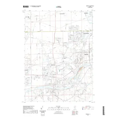
2021 Map of Yorkville
USGS Topo · Published 2021About this map
The Fox River serves as the central artery for this portion of Kendall and Kane Counties, anchoring the growing communities of Yorkville, Oswego, and Montgomery. This modern topographic survey illustrates the density of residential development spreading south from Aurora and Sugar Grove, juxtaposed against the preserved civic history at the Kendall County Courthouse. The landscape is defined by its complex hydrology, featuring the Aurora Chain of Lakes and the Jericho Lake Diversion in the north, while Blackberry Creek and Rob Roy Cr meander toward the primary river valley.
Find a feature on this map
221 named features on this map. Tap any name to fly to it.
Don’t see what you’re looking for? This feature index may not catch every label — zoom into the map to look around manually.
Map Details
Editions of this 2021 Yorkville Map
This is the sole edition of this map. No revisions or reprints were ever made.
Other maps of this area

1925 · Yorkville
USGS Topo · 1:62,500

1932 · Geneva
USGS Topo · 1:62,500

1937 · Sycamore
USGS Topo · 1:62,500

1948 · Geneva
USGS Topo · 1:62,500

1948 · Sandwich
USGS Topo · 1:62,500

1950 · Sandwich
USGS Topo · 1:62,500

1950 · Aurora North
USGS Topo · 1:24,000

1953 · Plattville
USGS Topo · 1:24,000

1953 · Yorkville
USGS Topo · 1:24,000

1953 · Yorkville SE
USGS Topo · 1:24,000