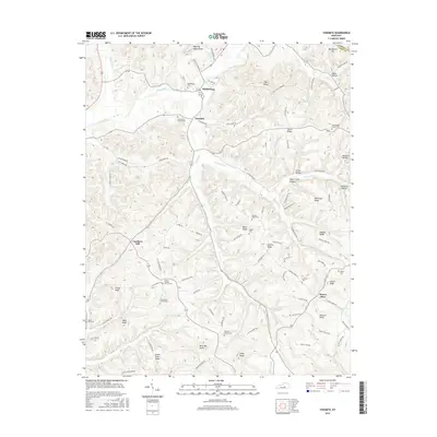
2016 Map of Yosemite
USGS Topo · Published 2016About this map
Yosemite and Middleburg anchor the northern reaches of this Casey County landscape, where the Green River carves a path through a series of steep ridges and hollows. The settlement pattern follows the intricate drainage network, with homes and small farms situated along the narrow valley floors of Hatter Cr and Knob Lick Cr. This area is characterized by high, narrow divides such as High Ridge and Hurricane Ridge, which separate the myriad small creeks feeding the local watersheds.
Find a feature on this map
115 named features on this map. Tap any name to fly to it.
Don’t see what you’re looking for? This feature index may not catch every label — zoom into the map to look around manually.
Map Details
Editions of this 2016 Yosemite Map
This is the sole edition of this map. No revisions or reprints were ever made.
Other maps of this area

1935 · Somerset
USGS Topo · 1:62,500

1952 · Ellisburg
USGS Topo · 1:24,000

1952 · Halls Gap
USGS Topo · 1:24,000

1952 · Eubank
USGS Topo · 1:24,000

1952 · Hustonville
USGS Topo · 1:24,000

1952 · Liberty
USGS Topo · 1:24,000

1952 · Yosemite
USGS Topo · 1:24,000

1953 · Phil
USGS Topo · 1:24,000

1953 · Mintonville
USGS Topo · 1:24,000

1954 · Science Hill
USGS Topo · 1:24,000