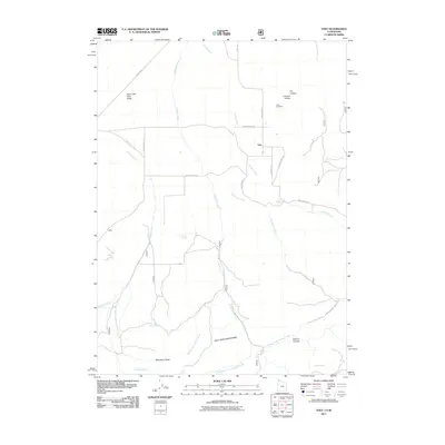
2011 Map of Yost
USGS Topo · Published 2011About this map
Yost serves as the central hub of this high-altitude basin where the Upper Raft River Valley meets the northern slopes of the Raft River Mountains. This landscape is defined by its vital water sources, with numerous named springs such as Callahan Spring, Blyth Spring, and Mahogany Spring feeding a network of drainages including Johnson Creek and Wildcat Creek. The settlement pattern follows these watercourses, with local infrastructure like Strevell Rd and Lynn Valley Rd connecting remote ranching sites and the Yost Cemetery. High-elevation landmarks like Mahogany Peaks overlook the terrain, which transitions into deep cuts such as Browns Canyon and Limekiln Hollow. The map detail captures the specialized geography of the Utah-Idaho borderlands, illustrating how irrigation and topography shaped the development of this secluded mountain community.
Find a feature on this map
30 named features on this map. Tap any name to fly to it.
Don’t see what you’re looking for? This feature index may not catch every label — zoom into the map to look around manually.
Map Details
Editions of this 2011 Yost Map
This is the sole edition of this map. No revisions or reprints were ever made.
Other maps of this area

1954 · Pocatello
USGS Topo · 1:250,000

1954 · Brigham City
USGS Topo · 1:250,000

1958 · Pocatello
USGS Topo · 1:250,000

1958 · Brigham City
USGS Topo · 1:250,000

1959 · Park Valley
USGS Topo · 1:62,500

1959 · Yost
USGS Topo · 1:62,500

1962 · Brigham City
USGS Topo · 1:250,000

1968 · Almo
USGS Topo · 1:24,000

1968 · Jim Sage Canyon
USGS Topo · 1:24,000

1968 · Chokecherry Canyon
USGS Topo · 1:24,000