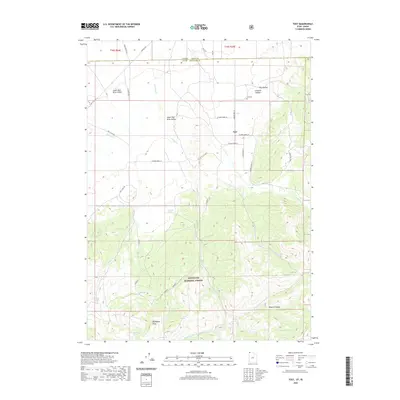
2020 Map of Yost
USGS Topo · Published 2020About this map
Yost sits near the northern edge of Box Elder County, positioned where the high peaks of the Sawtooth National Forest descend into the Upper Raft River Valley. This 2020 landscape reveals a high-elevation transition from agricultural flats to the steep topography of the Raft River Mountains, including prominent summits like Bally Mountain and Mahogany Peaks. The settlement pattern follows reliable water sources and canyons, with George Cr and Johnson Cr draining the northern slopes.
Find a feature on this map
41 named features on this map. Tap any name to fly to it.
Don’t see what you’re looking for? This feature index may not catch every label — zoom into the map to look around manually.
Map Details
Editions of this 2020 Yost Map
This is the sole edition of this map. No revisions or reprints were ever made.
Other maps of this area

1954 · Pocatello
USGS Topo · 1:250,000

1954 · Brigham City
USGS Topo · 1:250,000

1958 · Pocatello
USGS Topo · 1:250,000

1958 · Brigham City
USGS Topo · 1:250,000

1959 · Park Valley
USGS Topo · 1:62,500

1959 · Yost
USGS Topo · 1:62,500

1962 · Brigham City
USGS Topo · 1:250,000

1968 · Almo
USGS Topo · 1:24,000

1968 · Jim Sage Canyon
USGS Topo · 1:24,000

1968 · Chokecherry Canyon
USGS Topo · 1:24,000