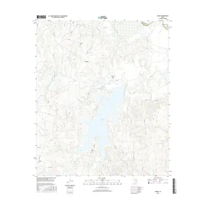
2016 Map of Young
USGS Topo · Published 2016About this map
Fairfield Lake dominates the central landscape of this Freestone County region, its many-fingered shoreline stretching through a network of creeks and branches. The settlement of Young sits to the north, serving as a focal point for a rural community defined by family landmarks and small-scale infrastructure. Several cemeteries, including Rehobath Cem near the northern border and Chancellor Cem further south, provide critical touchpoints for genealogists tracing the legacy of local families.
Find a feature on this map
46 named features on this map. Tap any name to fly to it.
Don’t see what you’re looking for? This feature index may not catch every label — zoom into the map to look around manually.
Map Details
Editions of this 2016 Young Map
This is the sole edition of this map. No revisions or reprints were ever made.
Other maps of this area

1919 · Fairfield
USGS Topo · 1:62,500

1949 · Tennessee Colony
USGS Topo · 1:62,500

1950 · Tennessee Colony
USGS Topo · 1:62,500

1953 · Palestine
USGS Topo · 1:250,000

1954 · Waco
USGS Topo · 1:250,000

1955 · Waco
USGS Topo · 1:250,000

1957 · Palestine
USGS Topo · 1:250,000

1960 · Winkler
USGS Topo · 1:24,000

1960 · Roustabout Camp
USGS Topo · 1:24,000

1961 · Young
USGS Topo · 1:24,000