
1946 Map of Young Womans Creek
USGS Topo · Published 1946About this map
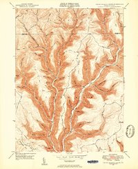
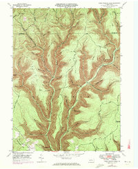
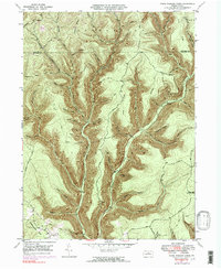
Young Womans Creek and its many tributaries, such as Sevenmile Run and Sixmile Run, dominate this mid-century topographic portrait of the Pennsylvania Wilds. The landscape is defined by the sharp transition between narrow valley floors and high ridges like Lebo Ridge and Shephard Road Ridge. While no major towns appear, the map reveals a complex network of forest industry infrastructure, including the Underground Pipe Line crossing the southwest and the historic Shingle Mill Hollow. Numerous trails and primitive roads, such as Greenlick Road and the Bobsled Trail, suggest a region focused on timbering and early resource extraction. The area spans the Stewardson and Chapman townships across the border of Potter and Clinton counties. This 1946 survey documents a specific phase of Pennsylvania forest management before modern development, preserving the locations of remote landmarks like Fork Hill and Summerson Mtn.
Find a feature on this map
65 named features on this map. Tap any name to fly to it.
Don’t see what you’re looking for? This feature index may not catch every label — zoom into the map to look around manually.
Map Details
Editions of this 1946 Young Womans Creek Map
4 editions found
Other maps of this area

1943 · Hyner
USGS Topo · 1:62,500

1946 · Renovo East
USGS Topo · 1:62,500

1946 · Renovo West
USGS Topo · 1:62,500

1946 · Tamarack
USGS Topo · 1:24,000

1946 · Slate Run
USGS Topo · 1:24,000

1946 · Renovo East
USGS Topo · 1:24,000

1946 · Renovo West
USGS Topo · 1:24,000

1946 · Glen Union
USGS Topo · 1:24,000

1947 · Conrad
USGS Topo · 1:62,500

1947 · Galeton
USGS Topo · 1:62,500