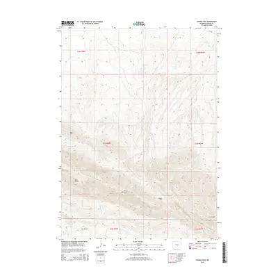
2015 Map of Youngs Pass
USGS Topo · Published 2015About this map
The Ferris Mountains dominate this high-desert landscape in northern Carbon County, rising sharply above the surrounding basins. This topographic record shows the intricate drainage patterns of the range, defined by the headwaters of Cherry Cr, Muddy Cr, and several branches of Pete Cr. The central gap at Youngs Pass serves as a primary geographical marker between the high peaks and the drainage systems flowing into the surrounding flats.
Find a feature on this map
23 named features on this map. Tap any name to fly to it.
Don’t see what you’re looking for? This feature index may not catch every label — zoom into the map to look around manually.
Map Details
Editions of this 2015 Youngs Pass Map
This is the sole edition of this map. No revisions or reprints were ever made.
Other maps of this area

1951 · Savage Peak
USGS Topo · 1:24,000

1951 · Bucklin Reservoirs
USGS Topo · 1:24,000

1951 · Independence Rock
USGS Topo · 1:24,000

1953 · Ferris
USGS Topo · 1:24,000

1953 · Spanish Mine
USGS Topo · 1:24,000

1955 · Casper
USGS Topo · 1:250,000

1958 · Casper
USGS Topo · 1:250,000

1961 · Lamont NE
USGS Topo · 1:24,000

1961 · Lamont
USGS Topo · 1:24,000

1962 · Casper
USGS Topo · 1:250,000