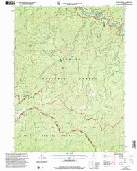
2001 Map of Youngs Peak
USGS Topo · Published 2004About this map
Klamath National Forest and the northern reaches of the Trinity National Forest converge in this high-elevation region of Northern California, marked by the confluence of the Klamath River and the South Fork Salmon River. The landscape is defined by its deep mining history, evidenced by a concentration of claims including the Knownothing Mine, Gilta Mine, and Wolverine Mine scattered along the drainages of Knownothing Creek. The rugged boundary between Siskiyou and Trinity counties runs through the heart of the map, crossing prominent heights like Youngs Peak and Bowerman Peak. Evidence of early settlement and backcountry travel is preserved through locations such as Barton Cabin and the Hansen Mine Trail, while the eastern portion transitions into the protected wilderness of the Trinity Alps Mountains.
Find a feature on this map
53 named features on this map. Tap any name to fly to it.
Don’t see what you’re looking for? This feature index may not catch every label — zoom into the map to look around manually.
Map Details
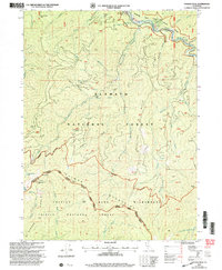
Editions of this 2001 Youngs Peak Map
2 editions found
Other maps of this area

1948 · Weed
USGS Topo · 1:250,000

1950 · Weed
USGS Topo · 1:250,000

1955 · Salmon Mtn
USGS Topo · 1:62,500

1955 · Cecilville
USGS Topo · 1:62,500

1955 · Sawyers Bar
USGS Topo · 1:62,500

1955 · Forks of Salmon
USGS Topo · 1:62,500

1958 · Weed
USGS Topo · 1:250,000

1963 · Weed
USGS Topo · 1:250,000

1974 · Orleans Mtn.
USGS Topo · 1:24,000
1978 · Cecilville
USGS Topo · 1:24,000