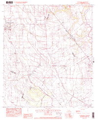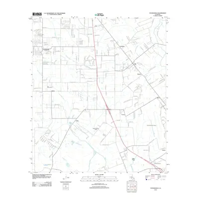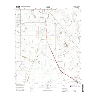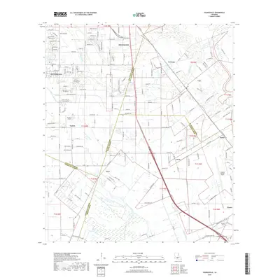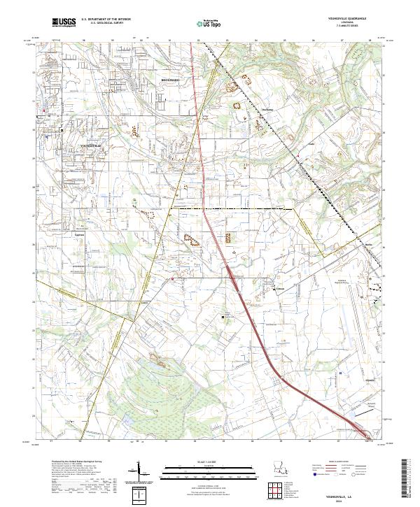
2024 Map of Youngsville
USGS Topo · Published 2024About this map
The intersection of several South Louisiana parishes—Lafayette, St. Martin, Iberia, and Vermilion—converges in this landscape defined by winding waterways and expanding aviation hubs. The terrain is marked by the distinct drainage patterns of LaSalle Coulee and Bayou Parc Perdu, which historically influenced the placement of early settlements. Several established communities are visible, including the growing town of Youngsville and nearby Broussard, which remain anchored by cultural landmarks like Saint Anne Catholic Cem.
Find a feature on this map
105 named features on this map. Tap any name to fly to it.
Don’t see what you’re looking for? This feature index may not catch every label — zoom into the map to look around manually.
Map Details
Editions of this 2024 Youngsville Map
This is the sole edition of this map. No revisions or reprints were ever made.
Historical Maps of Youngsville Through Time
6 maps found