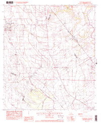
1983 Map of Youngsville
USGS Topo · Published 1983About this map
The town of Youngsville serves as a primary hub in this early 1980s look at the Acadiana region, situated where the prairies meet the complex drainage systems of the Louisiana lowlands. The landscape is defined by its coulees and bayous, including Cypress Bayou and the winding Bayou Tortue, which historically dictated the patterns of agricultural development and settlement. Industrial and transit corridors are clearly marked by the Southern Pacific railroad line, which connects smaller communities like Cade and Duchamp to the larger regional economy. This era shows the expansion of infrastructure near the Acadiana Regional Airport on the eastern edge of the survey. The map also records numerous local points of interest for genealogists, including scattered Cem sites and smaller settlements such as Lozes, Capitan, and Coteau, providing a detailed view of Lafayette and St. Martin Parishes before the rapid suburban growth of later decades.
Find a feature on this map
20 named features on this map. Tap any name to fly to it.
Don’t see what you’re looking for? This feature index may not catch every label — zoom into the map to look around manually.
Map Details
Editions of this 1983 Youngsville Map
This is the sole edition of this map. No revisions or reprints were ever made.
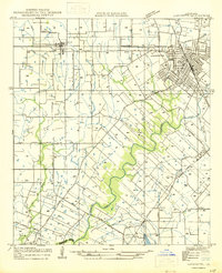
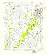
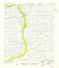
Other maps of this area

1932 · Abbeville NE
USGS Topo · 1:31,680

1937 · Derouen
USGS Topo · 1:62,500

1939 · St. Martinsville
USGS Topo · 1:62,500

1945 · New Orleans
USGS Topo · 1:250,000

1946 · Milton
USGS Topo · 1:31,680
1946 · Lafayette
USGS Topo · 1:31,680

1952 · Lake Charles
USGS Topo · 1:250,000
1954 · Lafayette
USGS Topo · 1:31,680
1954 · Milton
USGS Topo · 1:31,680

1954 · Port Arthur
USGS Topo · 1:250,000