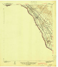
1941 Map of Ysleta
USGS Topo · Published 1941About this map
The Rio Grande defines the international boundary between Texas and Chihuahua in this pre-war survey, anchoring a landscape of complex irrigation and ancient missions. The valley floor is crisscrossed by an extensive network of artificial waterways like the Franklin Canal, Mesa Drain, and Playa Drain, which supported the agricultural life of historic settlements such as Socorro and San Elizario. These communities, along with the San Antonio Mission, represent the deep-rooted Hispanic heritage of the El Paso Lower Valley.
Find a feature on this map
34 named features on this map. Tap any name to fly to it.
Don’t see what you’re looking for? This feature index may not catch every label — zoom into the map to look around manually.
Map Details
Editions of this 1941 Ysleta Map
This is the sole edition of this map. No revisions or reprints were ever made.
Other maps of this area
1896 · El Paso
USGS Topo · 1:125,000
1896 · Rio Grande
USGS Topo · 1:125,000
1908 · El Paso
USGS Topo · 1:125,000
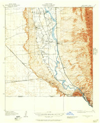
1917 · Canutillo
USGS Topo · 1:62,500
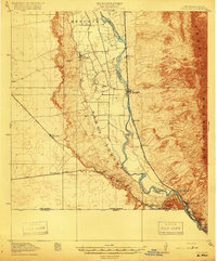
1919 · Canutillo
USGS Topo · 1:62,500
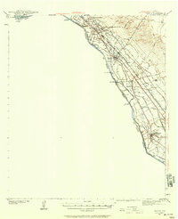
1939 · Ysleta
USGS Topo · 1:62,500
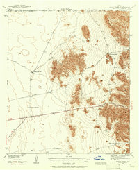
1939 · Heuco Tanks
USGS Topo · 1:62,500
1940 · Heuco Tanks
USGS Topo · 1:62,500
1941 · El Paso
USGS Topo · 1:31,680
1941 · Clint
USGS Topo · 1:62,500