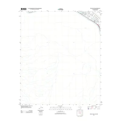
2012 Map of Ysleta NW
USGS Topo · Published 2012About this map
The Rio Grande serves as the prominent dividing line in this 2012 survey of the international border region near Lakeside. The map illustrates the structured residential development of the era, particularly in the northeast corner where Ascarate Lake sits adjacent to a network of established streets including Polo Inn Rd and Coronado Rd. The landscape reflects the transition from suburban residential planning to the natural riparian corridor, highlighted by the presence of the Valley Gate Lateral. The majority of the southern and western portions of the quadrangle depict the desert-like terrain and drainage patterns typical of the Chihuahua region, providing a clear view of the contrast between the developed river valley and the undeveloped expanses south of the border.
Find a feature on this map
22 named features on this map. Tap any name to fly to it.
Don’t see what you’re looking for? This feature index may not catch every label — zoom into the map to look around manually.
Map Details
Editions of this 2012 Ysleta NW Map
This is the sole edition of this map. No revisions or reprints were ever made.
Other maps of this area

1896 · El Paso
USGS Topo · 1:125,000

1908 · El Paso
USGS Topo · 1:125,000

1917 · Canutillo
USGS Topo · 1:62,500

1919 · Canutillo
USGS Topo · 1:62,500

1939 · Ysleta
USGS Topo · 1:62,500

1941 · El Paso
USGS Topo · 1:31,680

1941 · Ysleta
USGS Topo · 1:62,500

1942 · Fort Bliss
USGS Topo · 1:62,500

1943 · El Paso
USGS Topo · 1:31,680

1945 · Ysleta
USGS Topo · 1:62,500