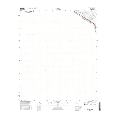
2016 Map of Ysleta NW
USGS Topo · Published 2016About this map
The Rio Grande serves as the prominent international boundary between the United States of America and Mexico, defining the southern edge of this West Texas landscape. On the American side, the map documents the southeastern urban expansion of El Paso, where residential pockets like Lakeside and Alfalfa are situated amidst a network of irrigation and drainage features. The Valley Gate Lateral reflects the historical management of water in this arid river valley, supporting the local agricultural legacy that gave the Alfalfa settlement its name. Near the river's bend, Ascarate Lake stands as a significant local landmark, while the road network including Alameda Ave and Polo Inn Rd illustrates the development of the border region in the early twenty-first century.
Find a feature on this map
24 named features on this map. Tap any name to fly to it.
Don’t see what you’re looking for? This feature index may not catch every label — zoom into the map to look around manually.
Map Details
Editions of this 2016 Ysleta NW Map
This is the sole edition of this map. No revisions or reprints were ever made.
Other maps of this area

1896 · El Paso
USGS Topo · 1:125,000

1908 · El Paso
USGS Topo · 1:125,000

1917 · Canutillo
USGS Topo · 1:62,500

1919 · Canutillo
USGS Topo · 1:62,500

1939 · Ysleta
USGS Topo · 1:62,500

1941 · El Paso
USGS Topo · 1:31,680

1941 · Ysleta
USGS Topo · 1:62,500

1942 · Fort Bliss
USGS Topo · 1:62,500

1943 · El Paso
USGS Topo · 1:31,680

1945 · Ysleta
USGS Topo · 1:62,500