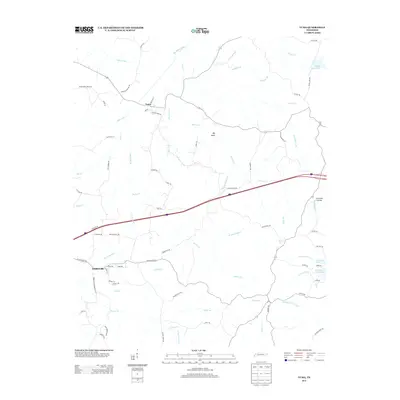
2013 Map of Yuma
USGS Topo · Published 2013About this map
Wildersville and Yuma serve as the primary hubs in this West Tennessee landscape, where a dense network of country roads and family-named trails reflects generations of rural settlement. The geography is defined by the Big Sandy River and its numerous tributaries, including Roan Creek and Dabbs Cr, which carve through the terrain to create features like Big Gully and the Fairview Gullies. Local history is preserved in the names of thoroughfares like School House Rd, Railroad St, and Enoch Cemetery Rd, pointing to the civic foundations of these communities.
Find a feature on this map
78 named features on this map. Tap any name to fly to it.
Don’t see what you’re looking for? This feature index may not catch every label — zoom into the map to look around manually.
Map Details
Editions of this 2013 Yuma Map
This is the sole edition of this map. No revisions or reprints were ever made.
Other maps of this area

1936 · Clarksburg
USGS Topo · 1:24,000

1936 · Lexington
USGS Topo · 1:24,000

1936 · Yuma
USGS Topo · 1:24,000

1936 · Parsons
USGS Topo · 1:24,000

1936 · Seventeen Creek
USGS Topo · 1:24,000

1936 · Center Ridge
USGS Topo · 1:24,000

1936 · Cavvia
USGS Topo · 1:24,000

1936 · Buena Vista
USGS Topo · 1:24,000

1936 · Chesterfield
USGS Topo · 1:24,000

1950 · Yuma
USGS Topo · 1:24,000