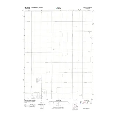
2010 Map of Yuma North
USGS Topo · Published 2010About this map
Yuma marks the southern edge of this High Plains landscape, where the town's northern expansion meets a vast grid of agricultural section lines. This 2010 survey captures the organized layout of the Colorado prairie, characterized by an extensive network of north-south and east-west thoroughfares like County Rd G and County Rd 43. The local geography is defined by its utility and civic landmarks, notably the Yuma Municipal Cemetery and the Jackson Field landing strip, reflecting the region's reliance on both land and air for connectivity. The transition from the residential blocks of town to the open fields is bridged by routes such as Old Post Rd, suggesting the historical pathways that once facilitated early post and travel through the plains before the modern county road system was fully established.
Find a feature on this map
19 named features on this map. Tap any name to fly to it.
Don’t see what you’re looking for? This feature index may not catch every label — zoom into the map to look around manually.
Map Details
Editions of this 2010 Yuma North Map
This is the sole edition of this map. No revisions or reprints were ever made.
Other maps of this area

1954 · Sterling
USGS Topo · 1:250,000

1958 · Sterling
USGS Topo · 1:250,000

1969 · Schramm
USGS Topo · 1:24,000

1971 · Yuma NE
USGS Topo · 1:24,000

1971 · Clarkville SE
USGS Topo · 1:24,000

1972 · Hyde
USGS Topo · 1:24,000

1972 · Lone Star
USGS Topo · 1:24,000

1972 · Clarkville SW
USGS Topo · 1:24,000

1972 · Otis SE
USGS Topo · 1:24,000

1972 · Yuma South
USGS Topo · 1:24,000