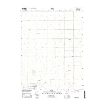
2016 Map of Yuma North
USGS Topo · Published 2016About this map
Yuma sits at the southern edge of this survey, where the town's residential grid meets the expansive agricultural section lines of the High Plains. The transition from town to prairie is marked by the Yuma Municipal Cem and a network of county roads that define the region's rigid geometry. Notable local routes like Old Post Rd and Centennial Rd lead away from the developed center, tracing the pathways used by generations of farmers. Within the settlement, detailed street labels such as W Beatty Ave, W Hoag Ave, and Apache Dr provide a clear view of the town's modern layout. The map reflects a landscape deeply organized by the Public Land Survey System, with township boundaries like t3n r48w and t2n r47w governing the placement of homesteads and access roads across the northeastern Colorado plains.
Find a feature on this map
23 named features on this map. Tap any name to fly to it.
Don’t see what you’re looking for? This feature index may not catch every label — zoom into the map to look around manually.
Map Details
Editions of this 2016 Yuma North Map
This is the sole edition of this map. No revisions or reprints were ever made.
Other maps of this area

1954 · Sterling
USGS Topo · 1:250,000

1958 · Sterling
USGS Topo · 1:250,000

1969 · Schramm
USGS Topo · 1:24,000

1971 · Yuma NE
USGS Topo · 1:24,000

1971 · Clarkville SE
USGS Topo · 1:24,000

1972 · Hyde
USGS Topo · 1:24,000

1972 · Lone Star
USGS Topo · 1:24,000

1972 · Clarkville SW
USGS Topo · 1:24,000

1972 · Otis SE
USGS Topo · 1:24,000

1972 · Yuma South
USGS Topo · 1:24,000