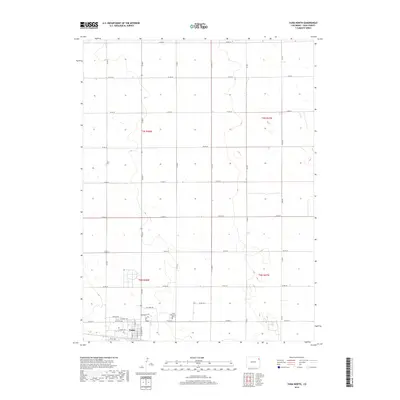
2019 Map of Yuma North
USGS Topo · Published 2019About this map
Yuma serves as the primary hub for this northeastern Colorado quadrangle, where the grid of the High Plains meets the expanding northern reaches of the township. The residential streets and thoroughfares, including Apache Dr and W Grant Ave, delineate the town's northern perimeter against a vast agricultural landscape. This 2019 survey documents the transition from the concentrated urban block structure near W 1st Ave to the wide-reaching county road system that defines the surrounding township lines of t2n r48w and t2n r47w.
Find a feature on this map
33 named features on this map. Tap any name to fly to it.
Don’t see what you’re looking for? This feature index may not catch every label — zoom into the map to look around manually.
Map Details
Editions of this 2019 Yuma North Map
This is the sole edition of this map. No revisions or reprints were ever made.
Other maps of this area

1954 · Sterling
USGS Topo · 1:250,000

1958 · Sterling
USGS Topo · 1:250,000

1969 · Schramm
USGS Topo · 1:24,000

1971 · Yuma NE
USGS Topo · 1:24,000

1971 · Clarkville SE
USGS Topo · 1:24,000

1972 · Hyde
USGS Topo · 1:24,000

1972 · Lone Star
USGS Topo · 1:24,000

1972 · Clarkville SW
USGS Topo · 1:24,000

1972 · Otis SE
USGS Topo · 1:24,000

1972 · Yuma South
USGS Topo · 1:24,000