
1972 Map of Yuma South
USGS Topo · Published 1975About this map
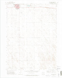
Yuma sits at the northern edge of this survey, serving as the primary hub for the surrounding agricultural plains in the early 1970s. The town's layout is clearly defined, with the Burlington Northern railroad running along its northern boundary and civic institutions like the High Sch and Jr High Sch established near the center. Public spaces such as Park and the waters of Lake Yuma provide a focal point for the community's local geography.
Find a feature on this map
18 named features on this map. Tap any name to fly to it.
Don’t see what you’re looking for? This feature index may not catch every label — zoom into the map to look around manually.
Map Details
Editions of this 1972 Yuma South Map
4 editions found

Other maps of this area

1954 · Limon
USGS Topo · 1:250,000

1954 · Sterling
USGS Topo · 1:250,000

1957 · Limon
USGS Topo · 1:250,000

1958 · Limon
USGS Topo · 1:250,000

1958 · Sterling
USGS Topo · 1:250,000

1969 · Heartstrong
USGS Topo · 1:24,000

1969 · Schramm
USGS Topo · 1:24,000

1971 · Yuma NE
USGS Topo · 1:24,000

1972 · Hyde
USGS Topo · 1:24,000

1972 · Otis SE
USGS Topo · 1:24,000