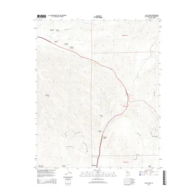
2015 Map of Zaca Creek
USGS Topo · Published 2015About this map
Purisima Hills define the central topography of this Santa Barbara County landscape, situated between the southern edge of Los Alamos Valley and the growing community of Buellton. The area is marked by a complex network of canyons and cañadas that drain toward the San Antonio Cr in the north and Zaca Cr to the east. The map captures a moment of modern development where residential lanes like Via De Los Ranchos and Bobcat Springs Rd wind through the historic agricultural and ranching terrain.
Find a feature on this map
35 named features on this map. Tap any name to fly to it.
Don’t see what you’re looking for? This feature index may not catch every label — zoom into the map to look around manually.
Map Details
Editions of this 2015 Zaca Creek Map
This is the sole edition of this map. No revisions or reprints were ever made.
Other maps of this area

1905 · Lompoc
USGS Topo · 1:125,000

1942 · Lompoc
USGS Topo · 1:125,000

1942 · Lompoc
USGS Topo · 1:62,500

1942 · Santa Maria
USGS Topo · 1:62,500

1942 · Tepusquet Peak
USGS Topo · 1:62,500

1942 · Los Olivos
USGS Topo · 1:62,500

1943 · Los Olivos
USGS Topo · 1:62,500

1943 · Tepusquet Peak
USGS Topo · 1:62,500

1943 · Lompoc
USGS Topo · 1:125,000

1947 · Careaga Canyon
USGS Topo · 1:24,000