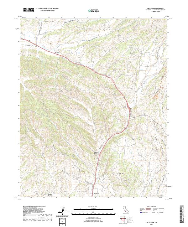
2021 Map of Zaca Creek
USGS Topo · Published 2021About this map
Buellton serves as the southern anchor of this 2021 landscape, where the agricultural flats of the Los Alamos Valley meet the rising terrain of the Solomon Hills and Purisima Hills. The geography is defined by a series of long, intricate cañadas, including Cañada De La Puente and Cañada de los Alisos, which channel seasonal water toward San Antonio Cr and Zaca Cr. The map reveals a transition from traditional ranching and canyon roads like Foxen Canyon Rd to modern recreational use, evidenced by the development of specialized paths such as Magic Mike's Trl and Nascar Trl on the ridgelines. To the east, Ballard Canyon and Adobe Canyon carve deep through the hills, illustrating the enduring influence of the coastal range's complex drainage patterns on local transit and land use in Santa Barbara County.
Find a feature on this map
43 named features on this map. Tap any name to fly to it.
Don’t see what you’re looking for? This feature index may not catch every label — zoom into the map to look around manually.
Map Details
Editions of this 2021 Zaca Creek Map
This is the sole edition of this map. No revisions or reprints were ever made.
Other maps of this area

1905 · Lompoc
USGS Topo · 1:125,000

1942 · Lompoc
USGS Topo · 1:125,000

1942 · Lompoc
USGS Topo · 1:62,500

1942 · Santa Maria
USGS Topo · 1:62,500

1942 · Tepusquet Peak
USGS Topo · 1:62,500

1942 · Los Olivos
USGS Topo · 1:62,500

1943 · Los Olivos
USGS Topo · 1:62,500

1943 · Tepusquet Peak
USGS Topo · 1:62,500

1943 · Lompoc
USGS Topo · 1:125,000

1947 · Careaga Canyon
USGS Topo · 1:24,000