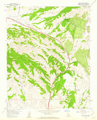
1959 Map of Zaca Creek
USGS Topo · Published 1960About this map
The Zaca Oil Field and the surrounding canyon country define this 1959 topographic survey of Santa Barbara County. The landscape is marked by industrial activity amidst the ranching traditions of the Central Coast, with numerous Oil Wells and an Oil Sump concentrated in the northeast near Zaca Creek. The map documents the persistent boundaries of historic land grants, including Corral de Quati and Laguna de la Purisima, which shape the modern parcels of Rancho Santa Ynez and Barham Ranch.
Find a feature on this map
31 named features on this map. Tap any name to fly to it.
Don’t see what you’re looking for? This feature index may not catch every label — zoom into the map to look around manually.
Map Details
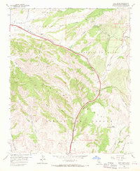
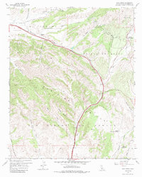
Editions of this 1959 Zaca Creek Map
3 editions found
Other maps of this area

1905 · Lompoc
USGS Topo · 1:125,000

1942 · Lompoc
USGS Topo · 1:125,000

1942 · Lompoc
USGS Topo · 1:62,500

1942 · Santa Maria
USGS Topo · 1:62,500

1942 · Tepusquet Peak
USGS Topo · 1:62,500

1942 · Los Olivos
USGS Topo · 1:62,500

1943 · Los Olivos
USGS Topo · 1:62,500

1943 · Tepusquet Peak
USGS Topo · 1:62,500

1943 · Lompoc
USGS Topo · 1:125,000

1947 · Careaga Canyon
USGS Topo · 1:24,000