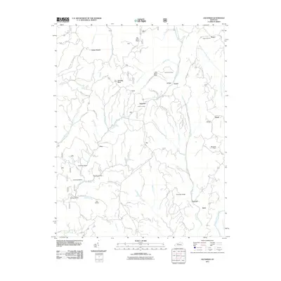
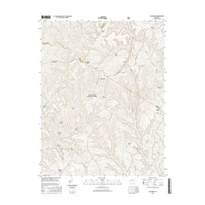
1953 Map of Zachariah
USGS Topo · Published 1963About this map
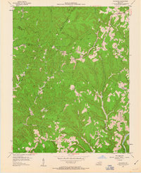
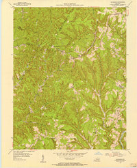
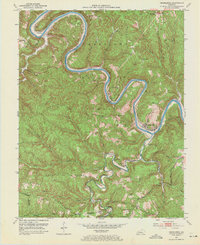
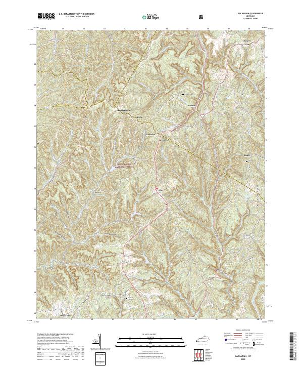
Oil fields dot the ridges of the Cumberland National Forest in this mid-century survey of the eastern Kentucky Highlands. The landscape is defined by its dramatic drainage networks, where the Middle Fork Red River and North Fork Kentucky River carve through the plateau. Small settlements like Zachariah, Fixer, and Zoe are scattered along the high ground, connected by roads that trace the narrow divides.
Find a feature on this map
55 named features on this map. Tap any name to fly to it.
Don’t see what you’re looking for? This feature index may not catch every label — zoom into the map to look around manually.
Map Details
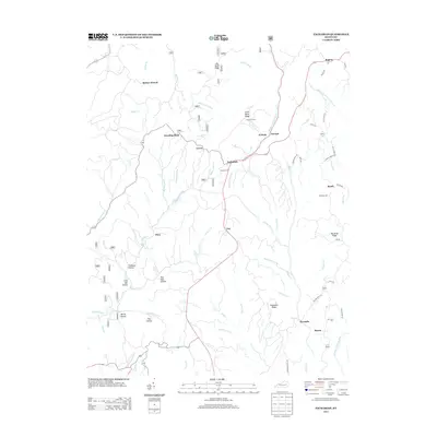
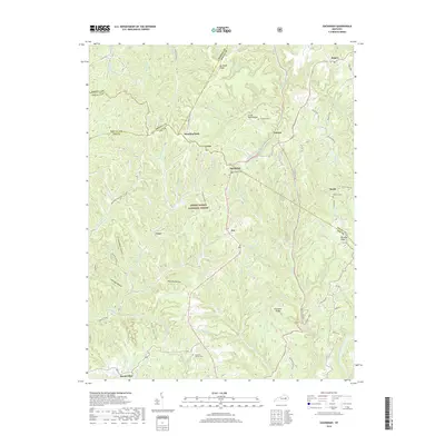
Editions of this 1953 Zachariah Map
2 editions found
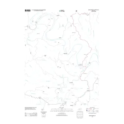
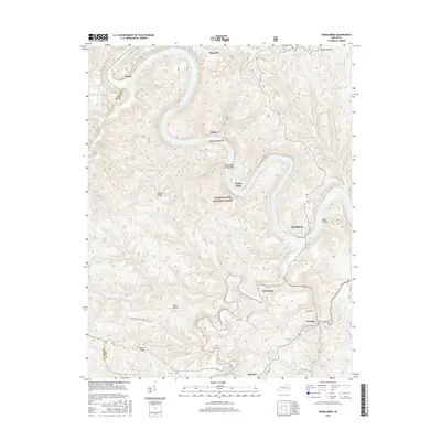
Historical Maps of Booth Through Time
13 maps found
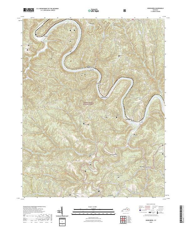
1952 Heidelberg
Lee County, KY
1953 Zachariah
Lee County, KY

1966 Zachariah
Lee County, KY
2011 Heidelberg
Lee County, KY
2011 Zachariah
Lee County, KY
2013 Heidelberg
Lee County, KY
2013 Zachariah
Lee County, KY
2016 Heidelberg
Lee County, KY
2016 Zachariah
Lee County, KY
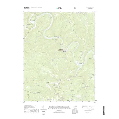
2019 Heidelberg
Lee County, KY
2019 Zachariah
Lee County, KY
2022 Heidelberg
Lee County, KY
2022 Zachariah
Lee County, KY