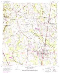
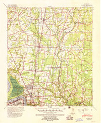
1963 Map of Zachary
USGS Topo · Published 1986About this map
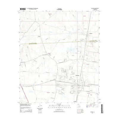
Zachary serves as the primary hub of activity in this 1963 survey, where the Illinois Central railroad corridor anchors the local economy and development. The landscape is defined by the transition from the town center, featuring Northwestern High Sch and Jane Memorial Hospital, to the surrounding rural parish lands. To the north, the village of Slaughter sits near the St Helena Meridian, while smaller communities like Lindsay and Plains appear as clusters of homes and churches. The map documents a significant network of rural worship and burial sites, including Ebenezer Ch, Pleasant Grove Ch, and the Stanford Cem. Industry and infrastructure are represented by the Alsen Oil Field and the Piker Landing Field, reflecting the era's mix of traditional agriculture and emerging energy and aviation sectors. Numerous water bodies like Bayou Baton Rouge and Cypress Bayou weave through the terrain, illustrating the natural drainage patterns of this portion of Louisiana.
Find a feature on this map
35 named features on this map. Tap any name to fly to it.
Don’t see what you’re looking for? This feature index may not catch every label — zoom into the map to look around manually.
Map Details
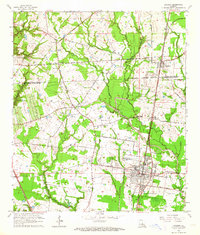
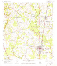
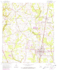
Editions of this 1963 Zachary Map
4 editions found
Historical Maps of Zachary Through Time
9 maps found
1939 Zachary
East Baton Rouge Parish, LA
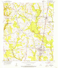
1954 Zachary
East Baton Rouge Parish, LA
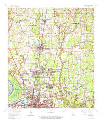
1963 Zachary
East Baton Rouge Parish, LA
1963 Zachary
East Baton Rouge Parish, LA
2012 Zachary
East Baton Rouge Parish, LA
2015 Zachary
East Baton Rouge Parish, LA
2018 Zachary
East Baton Rouge Parish, LA
2020 Zachary
East Baton Rouge Parish, LA
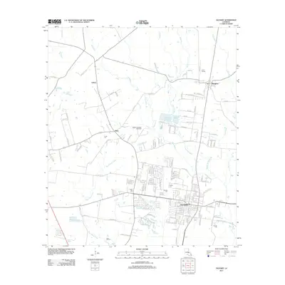
2024 Zachary
East Baton Rouge Parish, LA