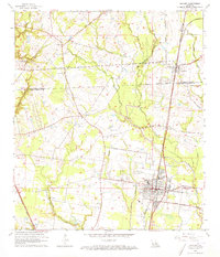
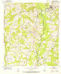
1963 Map of Zachary
USGS Topo · Published 1973About this map
The Illinois Central railroad corridor anchors this mid-century look at Northern East Baton Rouge Parish, connecting the established communities of Zachary and Slaughter. This era shows the region’s transition from a rural agricultural landscape to a developing suburban center, with the expanding footprint of Zachary High Sch and Northwestern High Sch alongside the newly established Lane Memorial Hospital. The landscape is intricately carved by several waterways, including White Bayou and Cypress Bayou, which flow through the rolling terrain south toward the Alsen Oil Field. Numerous family-named landmarks and rural houses of worship, such as Goodhope Ch and Pleasant Grove Ch, reflect the enduring communal ties of small settlements like Lindsay and Plains during the early 1960s.
Find a feature on this map
38 named features on this map. Tap any name to fly to it.
Don’t see what you’re looking for? This feature index may not catch every label — zoom into the map to look around manually.
Map Details
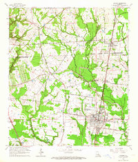
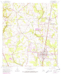
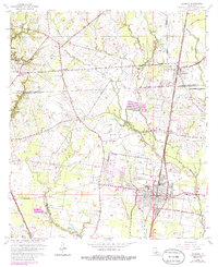
Editions of this 1963 Zachary Map
4 editions found
Other maps of this area

1906 · Bayou Sara
USGS Topo · 1:125,000

1939 · St. Francisville
USGS Topo · 1:62,500

1939 · Zachary
USGS Topo · 1:62,500

1945 · Jackson
USGS Topo · 1:31,680

1946 · Clinton
USGS Topo · 1:31,680

1953 · Comite
USGS Topo · 1:24,000

1954 · Zachary
USGS Topo · 1:24,000

1954 · Port Hudson
USGS Topo · 1:24,000
1954 · Clinton
USGS Topo · 1:24,000

1954 · Walls
USGS Topo · 1:24,000