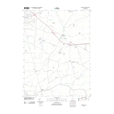
2010 Map of Zanesfield
USGS Topo · Published 2010About this map
Macochee Castle and Macacheek Castle stand as prominent cultural landmarks in this corner of Logan County, situated along the valley of Macochee Creek. The settlement of Zanesfield serves as a central hub, where the Zanesfield Post Office and Zanesfield Cemetery mark the community's long-standing presence near the headwaters of the Mad River. The landscape is defined by significant elevations such as Campbell Hill and Mount Miserable, with the terrain falling away into fertile areas like Hadley Bottom and Marmon Valley. Genealogists will find a high density of burial sites including Mount Zion, Pickrelltown, and the Yoder Cemetery, reflecting the deep-rooted family history of the area. The drainage pattern is intricate, with McKees Creek and Sugar Creek carving through the till plains, while The Upper Lake provides a distinct water feature north of the primary settlements.
Find a feature on this map
65 named features on this map. Tap any name to fly to it.
Don’t see what you’re looking for? This feature index may not catch every label — zoom into the map to look around manually.
Map Details
Editions of this 2010 Zanesfield Map
This is the sole edition of this map. No revisions or reprints were ever made.
Other maps of this area

1913 · Bellefontaine
USGS Topo · 1:48,000

1913 · East Liberty
USGS Topo · 1:62,500

1914 · St. Paris
USGS Topo · 1:62,500

1914 · Mechanicsburg
USGS Topo · 1:62,500

1915 · Bellefontaine
USGS Topo · 1:62,500

1915 · East Liberty
USGS Topo · 1:62,500

1916 · Mechanicsburg
USGS Topo · 1:62,500

1916 · St. Paris
USGS Topo · 1:62,500

1944 · East Liberty
USGS Topo · 1:62,500

1944 · Mechanicsburg
USGS Topo · 1:62,500