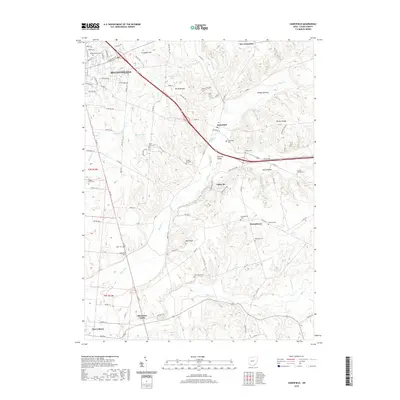
2019 Map of Zanesfield
USGS Topo · Published 2019About this map
Campbell Hill and Mt Miserable anchor this high-elevation corner of Logan County, where the headwaters of the Mad River and several local creeks carve through the landscape. The settlement of Zanesfield sits at a crossroads near the center of the sheet, surrounded by a high density of small family and community burial grounds, including the Tharps Run Cem, Goshen Cem, and Marmon Valley Cem. This concentration of cemeteries suggests a deep-rooted agricultural history and a stable pattern of early pioneer settlement.
Find a feature on this map
57 named features on this map. Tap any name to fly to it.
Don’t see what you’re looking for? This feature index may not catch every label — zoom into the map to look around manually.
Map Details
Editions of this 2019 Zanesfield Map
This is the sole edition of this map. No revisions or reprints were ever made.
Other maps of this area

1913 · Bellefontaine
USGS Topo · 1:48,000

1913 · East Liberty
USGS Topo · 1:62,500

1914 · St. Paris
USGS Topo · 1:62,500

1914 · Mechanicsburg
USGS Topo · 1:62,500

1915 · Bellefontaine
USGS Topo · 1:62,500

1915 · East Liberty
USGS Topo · 1:62,500

1916 · Mechanicsburg
USGS Topo · 1:62,500

1916 · St. Paris
USGS Topo · 1:62,500

1944 · East Liberty
USGS Topo · 1:62,500

1944 · Mechanicsburg
USGS Topo · 1:62,500