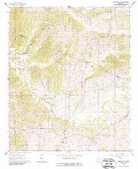
1964 Map of Zeiglerville
USGS Topo · Published 1986About this map
Zeiglerville and the surrounding hill country of the Choctaw Meridian define this landscape during the mid-1960s. The settlement pattern is characterized by numerous country churches and small community hubs that served the rural population of both Holmes and Yazoo counties. Distinctive landmarks include St Luke Ch and Antioch Ch, which sit among the drainage basins of Harland Creek and Tesheva Creek.
Find a feature on this map
25 named features on this map. Tap any name to fly to it.
Don’t see what you’re looking for? This feature index may not catch every label — zoom into the map to look around manually.
Map Details
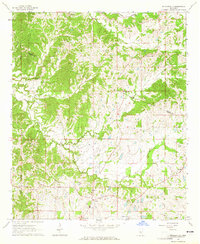
Editions of this 1964 Zeiglerville Map
2 editions found
Other maps of this area

1940 · Lexington
USGS Topo · 1:62,500

1940 · Mileston
USGS Topo · 1:62,500

1953 · Greenwood
USGS Topo · 1:250,000

1954 · Mileston
USGS Topo · 1:62,500

1955 · Jackson
USGS Topo · 1:250,000

1956 · Greenwood
USGS Topo · 1:250,000

1957 · Lexington
USGS Topo · 1:62,500

1958 · Lexington
USGS Topo · 1:62,500

1961 · Jackson
USGS Topo · 1:250,000

1961 · Valley
USGS Topo · 1:62,500