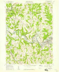
1958 Map of Zelienople
USGS Topo · Published 1959About this map
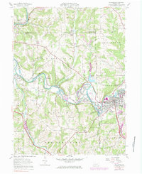
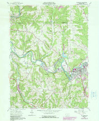
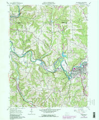
Connoquenessing Creek and Slippery Rock Creek carve through a landscape defined by industry and early suburban growth in the late 1950s. The bustling borough of Zelienople and neighboring Harmony serve as the primary population centers, while the surrounding townships show a heavy reliance on mineral extraction, evidenced by numerous Strip Mines and a large Quarry. Local transportation is anchored by the Baltimore and Ohio railroad and the Pennsylvania Turnpike, which bypasses the older settlement of Wurtemburg to the north.
Find a feature on this map
55 named features on this map. Tap any name to fly to it.
Don’t see what you’re looking for? This feature index may not catch every label — zoom into the map to look around manually.
Map Details
Editions of this 1958 Zelienople Map
7 editions found
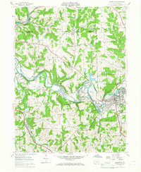
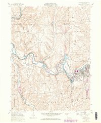
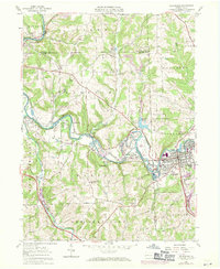
Other maps of this area

1901 · Beaver
USGS Topo · 1:62,500

1902 · New Castle
USGS Topo · 1:62,500

1904 · Newcastle
USGS Topo · 1:62,500

1904 · Beaver
USGS Topo · 1:62,500

1906 · Sewickley
USGS Topo · 1:62,500

1908 · Sewickley
USGS Topo · 1:62,500

1908 · Zelienople
USGS Topo · 1:62,500

1910 · Zelienople
USGS Topo · 1:62,500

1951 · Canton
USGS Topo · 1:250,000

1953 · Canton
USGS Topo · 1:250,000