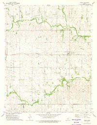
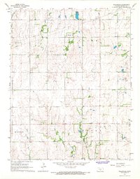
1973 Map of Zenda
USGS Topo · Published 1975About this map
Zenda serves as the primary hub of this 1970s landscape, positioned where the Atchison Topeka and Santa Fe railroad corridor cuts across the central Kansas plains. The map reveals a region defined by its natural drainage and resource extraction, with the Chikaskia River winding across the northern section and several smaller waterways like Sand Creek and Goose Creek carving through the agricultural sections.
Find a feature on this map
27 named features on this map. Tap any name to fly to it.
Don’t see what you’re looking for? This feature index may not catch every label — zoom into the map to look around manually.
Map Details
Editions of this 1973 Zenda Map
This is the sole edition of this map. No revisions or reprints were ever made.
Other maps of this area

1889 · Anthony
USGS Topo · 1:125,000

1891 · Anthony
USGS Topo · 1:125,000

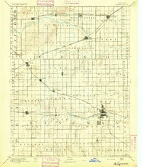
1892 · Kingman
USGS Topo · 1:125,000
1894 · Kingman
USGS Topo · 1:125,000

1955 · Pratt
USGS Topo · 1:250,000

1959 · Pratt
USGS Topo · 1:250,000
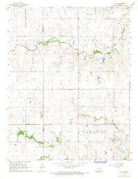
1966 · St Leo
USGS Topo · 1:24,000
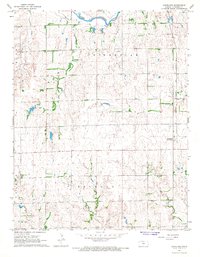
1967 · Cleveland
USGS Topo · 1:24,000
1967 · Willowdale
USGS Topo · 1:24,000
1973 · Spivey
USGS Topo · 1:24,000