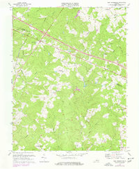
1970 Map of Zion Crossroads
USGS Topo · Published 1977About this map
Zion Crossroads serves as a central hub on this map where major roadways intersect, illustrating the mid-century development of the Piedmont landscape along the boundary of Louisa Co and Fluvanna Co. The rail-era influence is visible through the Chesapeake and Ohio railroad corridor which cuts through the northern section, passing near Springfield Ch and the rural community of Troy.
Find a feature on this map
39 named features on this map. Tap any name to fly to it.
Don’t see what you’re looking for? This feature index may not catch every label — zoom into the map to look around manually.
Map Details
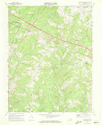
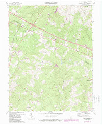
Editions of this 1970 Zion Crossroads Map
3 editions found
Other maps of this area

1891 · Palmyra
USGS Topo · 1:125,000

1892 · Gordonsville
USGS Topo · 1:125,000

1895 · Palmyra
USGS Topo · 1:125,000

1897 · Palmyra
USGS Topo · 1:125,000

1935 · Charlottesville
USGS Topo · 1:62,500

1939 · Charlottesville
USGS Topo · 1:62,500

1943 · Scottsville
USGS Topo · 1:62,500

1946 · Scottsville
USGS Topo · 1:62,500

1947 · Roanoke
USGS Topo · 1:250,000

1949 · Charlottesville
USGS Topo · 1:250,000