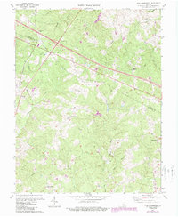
1970 Map of Zion Crossroads
USGS Topo · Published 1987About this map
Zion Crossroads serves as a central hub where local roads meet at the Louisa and Fluvanna county line. The landscape is defined by its agrarian and rural commerce patterns, evidenced by numerous family-named landmarks such as Hensons Store, Jordans Store, and Yanceys Store. The northern portion of the quadrangle is traversed by Interchange 27, marking the modernization of the road network through this wooded terrain.
Find a feature on this map
40 named features on this map. Tap any name to fly to it.
Don’t see what you’re looking for? This feature index may not catch every label — zoom into the map to look around manually.
Map Details
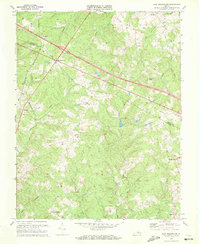
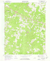
Editions of this 1970 Zion Crossroads Map
3 editions found
Other maps of this area

1891 · Palmyra
USGS Topo · 1:125,000

1892 · Gordonsville
USGS Topo · 1:125,000

1895 · Palmyra
USGS Topo · 1:125,000

1897 · Palmyra
USGS Topo · 1:125,000

1935 · Charlottesville
USGS Topo · 1:62,500

1939 · Charlottesville
USGS Topo · 1:62,500

1943 · Scottsville
USGS Topo · 1:62,500

1946 · Scottsville
USGS Topo · 1:62,500

1947 · Roanoke
USGS Topo · 1:250,000

1949 · Charlottesville
USGS Topo · 1:250,000