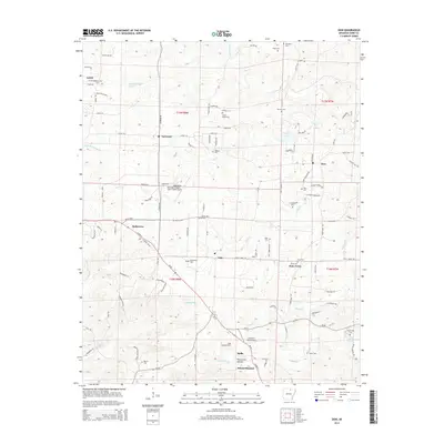
2014 Map of Zion
USGS Topo · Published 2014About this map
Melbourne serves as the focal point of this North Central Arkansas landscape, situated where the terrain begins to drop toward the waterways of Poke Bayou and E Rocky Bayou. The area is defined by its small, scattered rural communities such as Sage, Bone Town, and Zion, many of which grew around early homesteads and community hubs. Transport and infrastructure are represented by both the Melbourne Municipal Airport - John E Miller Field and the Sage Lookout Tower, a testament to the region's management of its timber and aviation needs. Genealogists will find a dense concentration of burial sites that trace the region's family histories, including the Old Philadelphia Cem near Larkin and the Watkins Cem located near Long Cr. The map's detailed drainage network, featuring Caney Cr and Finley Cr, illustrates the traditional importance of water access for these Ozark foothills settlements.
Find a feature on this map
133 named features on this map. Tap any name to fly to it.
Don’t see what you’re looking for? This feature index may not catch every label — zoom into the map to look around manually.
Map Details
Editions of this 2014 Zion Map
This is the sole edition of this map. No revisions or reprints were ever made.
Other maps of this area

1890 · Batesville
USGS Topo · 1:125,000

1891 · Batesville
USGS Topo · 1:125,000

1942 · Mt Pleasant
USGS Topo · 1:31,680

1943 · Sandtown
USGS Topo · 1:24,000

1951 · Melbourne
USGS Topo · 1:62,500

1953 · Memphis
USGS Topo · 1:250,000

1956 · Memphis
USGS Topo · 1:250,000

1957 · Poplar Bluff
USGS Topo · 1:250,000

1959 · Poplar Bluff
USGS Topo · 1:250,000

1960 · Poplar Bluff
USGS Topo · 1:250,000